Trézanne climbing site
LIEN FICHE SIT 46180Warning: Attempt to read property "term_id" on array in /home/isere/public_html/wp-content/plugins/sit-core/src/Templates/Services/Components/BlocSITMetas.php on line 27
Warning: foreach() argument must be of type array|object, bool given in /home/isere/public_html/wp-content/plugins/sit-core/src/Templates/Services/Components/BlocSITMetas.php on line 35
This site overlooks the Trièves and offers superb panoramic views of the imposing Mont-Aiguille. Its altitude and sunshine make it an ideal site for beautiful spring and summer days.
The left-hand side of the site offers magnificent climbing on steep walls of very good rock. On the right, the rock is more crumbly, but there are still some interesting routes.
Massif: Vercors
IGN map: 3236 OT
Altitude: 1000 m
Direction: southeast
Approach time: 15 mn
Favourable period: spring to autumn
Rock: limestone
Number of lanes: 38
Minimum track height: 10 m
Maximum route height: 35 m
Practice level: grades 4b to 8a
Climbing style: technical walls
In practice
Time schedule
From 04/02/25 to 10/31/25
-
Monday :
Open
-
Tuesday :
Open
-
Wednesday :
Open
-
Thursday :
Open
-
Friday :
Open
-
Saturday :
Open
-
Sunday :
Open
Prices
Free access.
See more


Go there
Latitude : 44.834444
Longitude : 5.584167
38930 Saint-Martin-de-Clelles
Go there
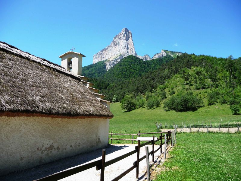
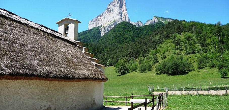
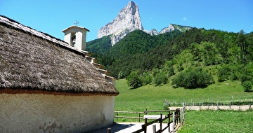
Access: From the D1075 at Clelles, take the D7 towards Chichilianne. After 2 km, turn right towards Trézanne (3.5 km). Park on the right, opposite the chapel.
Approach: From the road, retrace your steps for about 50m and turn left onto a wide path that follows the stream downstream on the left bank. After approx. 10 min, the path passes the foot of rocky buttresses (on the left) and then turns left. Shortly afterwards, take the path which climbs to the left. It takes 5 minutes to reach the foot of the 1st tracks.
NOTE: on the access path, the strange "sabot de vénus" is hiding in the woods. Don't pick this protected plant, which looks like a vegetable hoof!
Information mise à jour le 24/09/2024
par Office de Tourisme du Trièves
null