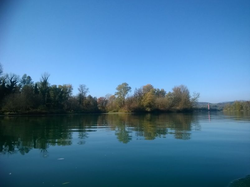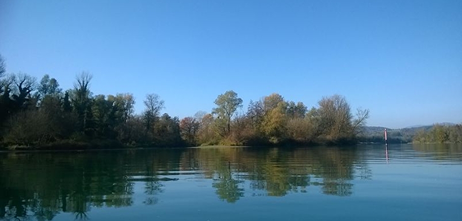
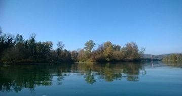
The Upper Rhône Navigation Reach
LIEN FICHE SIT 5197490Warning: Attempt to read property "term_id" on array in /home/isere/public_html/wp-content/plugins/sit-core/src/Templates/Services/Components/BlocSITMetas.php on line 27
Warning: foreach() argument must be of type array|object, bool given in /home/isere/public_html/wp-content/plugins/sit-core/src/Templates/Services/Components/BlocSITMetas.php on line 35
This navigation reach stretches for approximately 30 kms between Sault-Brénaz dam/Porcieu and Brégnier-Cordon dam.
The Upper Rhône (Haut-Rhône), is also called the Blue Rhône because the water sometimes looks turquoise. This stretch of the river is home to some endemic species of fauna and flora.
At Brégnier-Cordon, the Compagnie Nationale du Rhône (CNR) has set up a free transfer service for pleasure boaters. The manoeuvre consists in hoisting the boat out of the water, transporting it from one end of the dam to the other, and placing it back in the water on the other side. This means boaters can continue their journey to Chanaz (automatic locks), the Savières Canal and the lake of Le Bourget.
NB: This service is available only for vessels falling within certain length/weight limits.
In practice
Time schedule
From 01/01/25 to 12/31/25
-
Monday :
Open
-
Tuesday :
Open
-
Wednesday :
Open
-
Thursday :
Open
-
Friday :
Open
-
Saturday :
Open
-
Sunday :
Open
Prices
Free access.
See more


Information mise à jour le 14/03/2019
par Office du Tourisme Les Balcons du Dauphiné
null