Pourettes lake
LIEN FICHE SIT 5625309Warning: Attempt to read property "term_id" on array in /home/isere/public_html/wp-content/plugins/sit-core/src/Templates/Services/Components/BlocSITMetas.php on line 27
Warning: foreach() argument must be of type array|object, bool given in /home/isere/public_html/wp-content/plugins/sit-core/src/Templates/Services/Components/BlocSITMetas.php on line 35
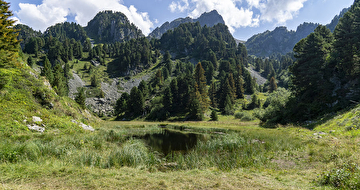
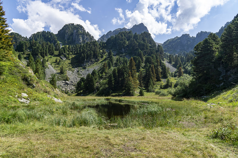
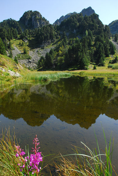
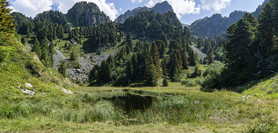
The Pourettes lake is a mountain lake of natural origin at 1810 m of altitude which is located on the heights of the resort side Recoin (Chamrousse 1650).
This small high-altitude lake has a long shape following the terrain near the hiking trail to Robert Lakes.
It benefits from a preserved environment and offers a pleasant panorama in an intimate setting.
The lake gets its name from the wild chives that grow on its shores. This natural site is also known for alpine newts (lizard-like amphibians) who like to take refuge there and who need to be approached quietly to hope to see them.
A first stop on a hike to the Robert Peaks and Lakes. The lake is also on the passage of the hiking trail coming from the parking lot of Casserousse (on the D111 side Seiglières).
In practice
Time schedule
From 04/15/25 to 11/15/25
-
Monday :
Open
-
Tuesday :
Open
-
Wednesday :
Open
-
Thursday :
Open
-
Friday :
Open
-
Saturday :
Open
-
Sunday :
Open
Prices
Free access.
See more
-
Chamrousse lakes loop
Lieu : Chamrousse
Dénivelé 710m

-
Chamrousse 1650 - Pourettes lake
Lieu : Chamrousse
Dénivelé 200m
-
GR®738 - Mountain pasture loop: Robert lakes
Lieu : Chamrousse
Dénivelé 550m
-
GR®738 hike - From Chamrousse to La Pra mountain refuge (step 10)
Lieu : Chamrousse
Dénivelé 915m
-
Chamrousse 1650 - Robert lakes by the Brèche Sud
Lieu : Chamrousse
Dénivelé 410m
-
Chamrousse 1650 - Pourettes lake - Robert lakes by the Brèche Nord
Lieu : Chamrousse
Dénivelé 440m


Go there
Latitude : 45.127878
Longitude : 5.895031
38410 Chamrousse
Go there
From Grenoble: car or bus + hike
Resort road access: Rocade Sud > exit no. 2 "Uriage" > Route départementale 111 (RD 111) Seiglières side.
Recommended parking: parking Henry Duhamel (P7), avenue Henry Duhamel (200 meters and about 2 minutes' walk - pay attention in winter) or Casserousse.
Public transport :
- regular bus service all year round: N93 (to/from Grenoble), "Chamrousse 1650" or "Casserousse" stop (merger of former T87, Transaltitude, Destination neige Skibus / nature Estibus 707)
- transport by reservation on weekdays excluding public holidays: Flexo 57 (to/from Uriage), stop "Chamrousse - Le Recoin" or or "Casserousse" (former TAD TouGo - line G701)
- winter and summer resort shuttle: "Télécabine (1650)" stop (to/from Chamrousse 1750 - Roche Béranger and Chamrousse 1600 - plateau de l'Arselle/nordic area).
Information mise à jour le 11/02/2025
par Office du Tourisme de Chamrousse
null