Orientation trail in Val-de-Virieu
LIEN FICHE SIT 4730578
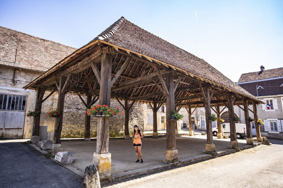
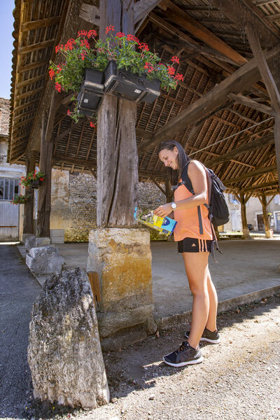
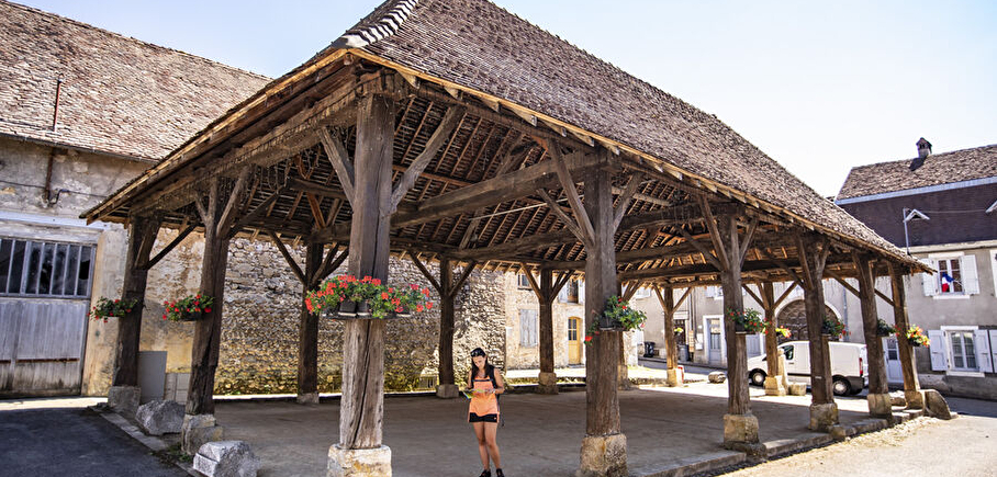
A family-friendly heritage trail starting from the town hall, punctuated by 14 markers, including 4 in the château gardens (accessible during opening hours). For each marker, you'll have to answer a question.
Approximately 3km and 1h30.
It's easy to get started. All you have to do is pick up a map (free, available from one of the region's 2 tourist offices (Pont-de-Beauvoisin or La Tour-du-Pin) and set off in search of the markers that point to remarkable sites (monuments, trees, paths, etc.).
Two other routes are available in St Jean-d'Avelanne (on foot or mountain bike) or La Tour du Pin (urban).
En pratique
- Non disponible
Publics
- Level bue - Medium
Animaux acceptés
- Non disponible
Équipements
- Parking nearby
Nature du terrain
- Ground,
- Hard coating (tar, cement, flooring),
- Not suitable for strollers
Informations complémentaires
Langues parlées
- French
Durée moyenne d'une visite groupée
- 1h
Ouvertures
All year round.
Périodes
- Autumn,
- Summer,
- Winter,
- Spring
Tarifs
Free access.
A voir aussi
-
Orientation trail in La Tour-du-Pin
Lieu : La Tour-du-Pin

-
Castles and farms of the Bas Dauphiné
Lieu : Val-de-Virieu
Dénivelé 504m
-
Around the Castle of Virieu
Lieu : Val-de-Virieu
Dénivelé 242m
-
In the footsteps of Lamartine
Lieu : Val-de-Virieu
Dénivelé 250m
-
Circuit découverte de Val-de-Virieu
Lieu : Val-de-Virieu
Dénivelé 20m
-
Castles and crest path
Lieu : Val-de-Virieu
Dénivelé 370m


Go there
Latitude : 45.479332
Longitude : 5.480219
Virieu
38730 Val-de-Virieu
Go there
Information mise à jour le 10/12/2024
par Office de Tourisme des Vals du Dauphiné
null