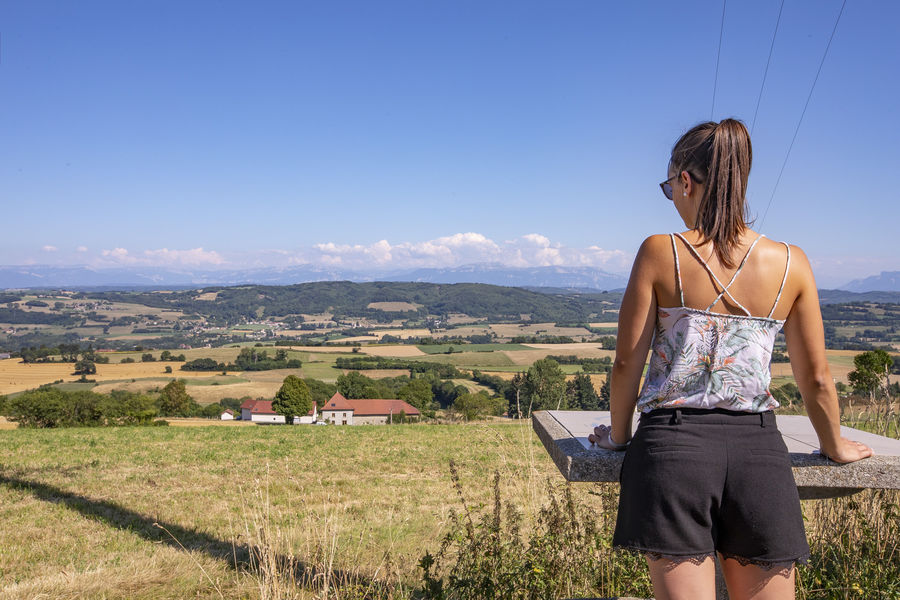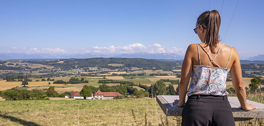
Orientation table
LIEN FICHE SIT 5493493Warning: Attempt to read property "term_id" on array in /home/isere/public_html/wp-content/plugins/sit-core/src/Templates/Services/Components/BlocSITMetas.php on line 27
Warning: foreach() argument must be of type array|object, bool given in /home/isere/public_html/wp-content/plugins/sit-core/src/Templates/Services/Components/BlocSITMetas.php on line 35
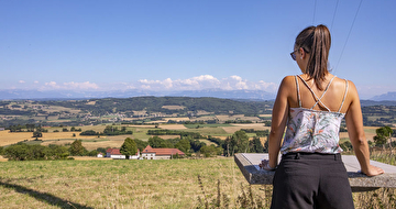
A 360° table, view on the Chartreuse, the Vercors, the Mont du Chat and the Mont-Blanc by clear weather !
In practice
Equipments
- Orientation board
Time schedule
From 01/01/25 to 12/31/25
-
Monday :
Open
-
Tuesday :
Open
-
Wednesday :
Open
-
Thursday :
Open
-
Friday :
Open
-
Saturday :
Open
-
Sunday :
Open
Prices
Free access.
See more
-
King's forest at Biol le Haut (short)
Lieu : Biol
Dénivelé 310m

-
King’s forest at Biol le haut (long)
Lieu : Biol
Dénivelé 390m
-
Valley of Hien and King's Forest
Lieu : Biol
Dénivelé 405m
-
Warning: Impossible de récupérer le contenu de l'image depuis: https://static.apidae-tourisme.com/filestore/objets-touristiques/images/122/130/17465978-diaporama.jpg in /home/isere/public_html/wp-content/plugins/acf-img-optim-2-master/class/Storage.php on line 113
Warning: Impossible de récupérer le contenu de l'image depuis: https://static.apidae-tourisme.com/filestore/objets-touristiques/images/122/130/17465978-diaporama.jpg in /home/isere/public_html/wp-content/plugins/acf-img-optim-2-master/class/Storage.php on line 113
Warning: Impossible de récupérer le contenu de l'image depuis: https://static.apidae-tourisme.com/filestore/objets-touristiques/images/122/130/17465978-diaporama.jpg in /home/isere/public_html/wp-content/plugins/acf-img-optim-2-master/class/Storage.php on line 113
Warning: Impossible de récupérer le contenu de l'image depuis: https://static.apidae-tourisme.com/filestore/objets-touristiques/images/122/130/17465978-diaporama.jpg in /home/isere/public_html/wp-content/plugins/acf-img-optim-2-master/class/Storage.php on line 113
Mountain bike loop - The sources of the Hien
Lieu : Biol
Dénivelé 570m


Go there
Latitude : 45.492971
Longitude : 5.357708
38690 Biol
Go there
100 m from the grave commemorating the Americans passing through the town in 1944. Beware, no specific pedestrian track to access.
Information mise à jour le 06/11/2024
par Office de Tourisme des Vals du Dauphiné
null