
Mountain pass - Col du Granier
LIEN FICHE SIT 5486205
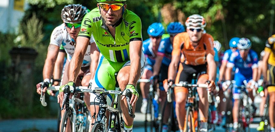
Start in Chapareillan for an ascent under the shade and the watchful eye of one of the emblematic summits of the Chartreuse.
Le Col du Granier – 1134 m – est situé au Nord du magnifique Massif de la Chartreuse. Bien connue des grimpeurs locaux, cette montée est très difficile avec une pente à près de 9%.
En pratique
- Non disponible
Publics
- Cyclists,
- Level red – hard
Animaux acceptés
- Non disponible
Continue on this road for 10 km: you have arrived on the pass where you will find a restaurant with the same name: Col du Granier.
Nature du terrain
- Hard coating (tar, cement, flooring)
Informations complémentaires
Langues parlées
- French
Durée moyenne d'une visite groupée
- 1.25h
Ouvertures
From 01/05 to 31/10.
Subject to favorable weather.
Périodes
- Autumn,
- Summer,
- Spring
Tarifs
Free access.
Go there
Latitude : 45.465742
Longitude : 5.989985
Height : 283
Go there
Une ligne TER dessert la gare de Pontcharra.
Le départ de la montée du Col du Granier est à environ 5 kilomètres.
Information mise à jour le 19/06/2024
par Isère Attractivité
null
