L'Emeindras par Habert de Chamechaude
LIEN FICHE SIT 5586757
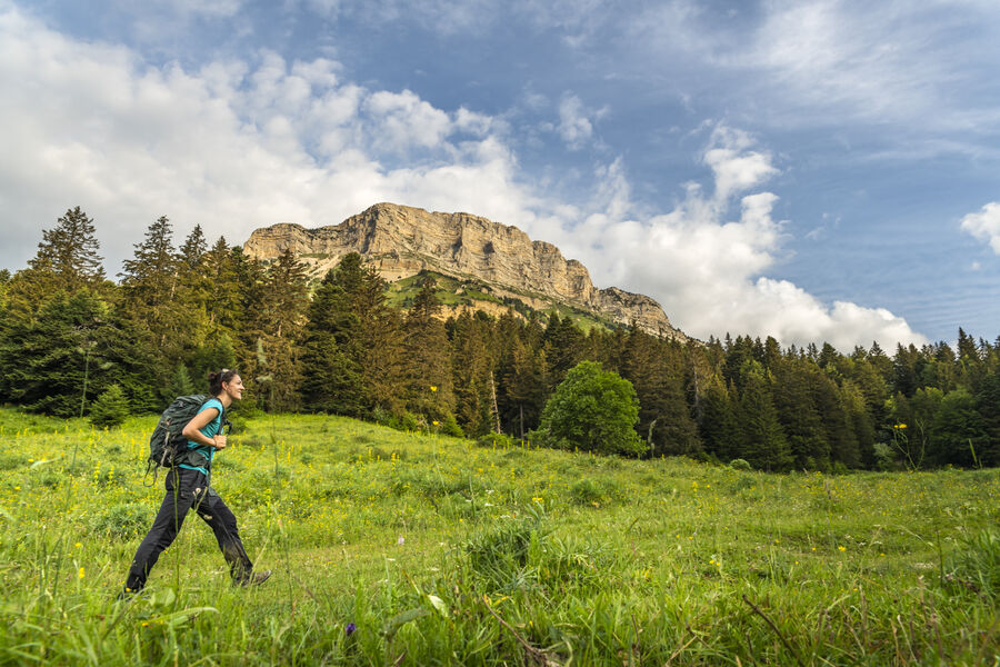
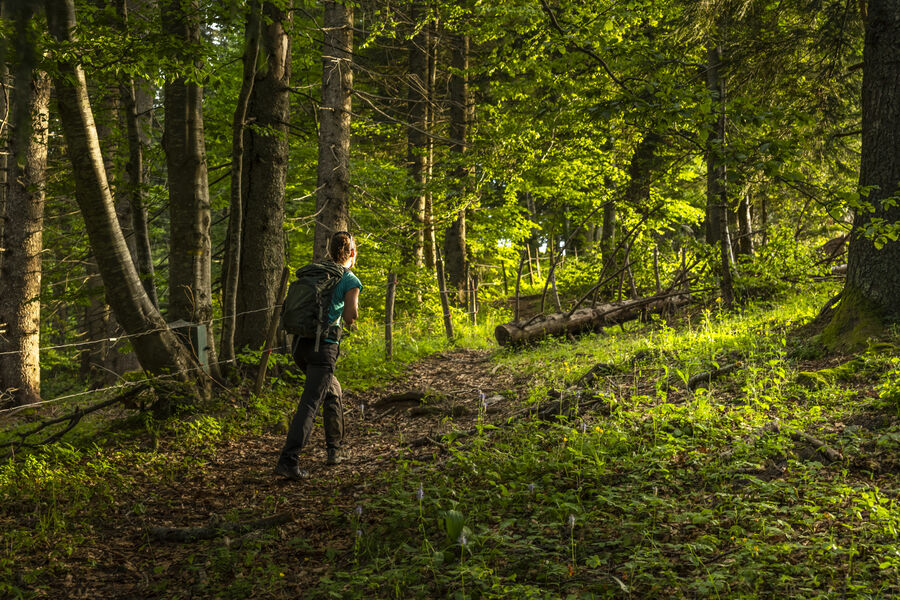
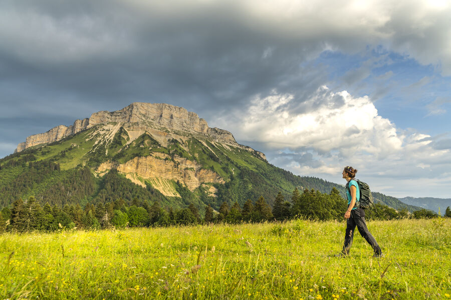
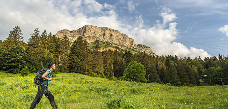
Under the benevolent gaze of Chamechaude, the highest peak of the Chartreuse, between deep forests, mountain pastures and limestone cliffs, a hike to discover a great diversity of landscapes
1. From the "Le Sappey Église" post, take the road towards "La Charmette" to reach the "Croix du Rocher".
2. Turn left towards Les Combes. After 600 m, take a track towards "Les Allières"; it follows the bottom of the combe, then climbs along a torrent to reach a crossroads at the "Les Allières" post.
3. Follow the track to the right as far as L'Émeindras de dessous, then L'Émeindras de dessus. As you approach the mountain pastures, cross the fence and climb up the grassy path on sight, gaining a foothold on the meadows (panoramic view of Chamechaude, the Chartreuse and Vercors peaks).
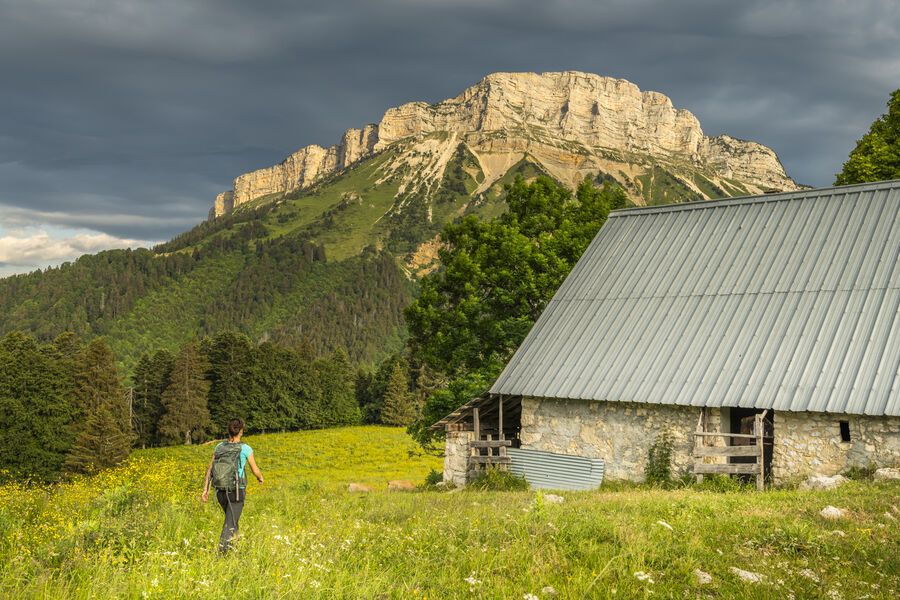
4. At l'Émeindras de dessus, follow the GR® 9 left towards the habert de Chamechaude. Shortly after the Col de l'Émeindras, the path continues up a steep, tightly-braced climb for 300 m, then along a balcony path, before descending to the habert de Chamechaude (breathtaking view of the Chamechaude cliffs).
5. Descend towards La Charmette, avoiding the forestry tracks, passing through Pied de Velouse to Montjalat le Haut. You can return to the starting point by following the GR® 9 straight on.
6. Leave the GR® 9 and turn right towards Col de Palaquit. After 400 m of steep ascent, reach a balcony path. Continue in the direction of Col de Palaquit to reach Le Réservoir.
7. Follow the GR® de Pays for 300 m in the direction of "Le Sappey Église". Leave it and follow the path on the left just before the main road. Take the Chemin des Crêts. Cross the D 512.
8. Take the impasse du Mollard on the right, then after 300 m, turn left on the GR® de Pays to reach the calvaire des Beauches (view of the Sagnes marshes).
9. Turn left towards Le Sappey. At the intersection with the D 512, turn right to reach the starting point.
En pratique
- Non acceptés
Publics
- Orange level - quite hard
Animaux acceptés
- Non acceptés
Conditions d'accueil des animaux
-
Interdit de juin à octobre
Tenue en laisse (traversée de troupeaux).
Équipements
- Free car park,
- Car park
Nature du terrain
- Stone,
- Ground,
- Not suitable for strollers
Informations complémentaires
Langues parlées
- French
Durée moyenne d'une visite groupée
- 4.5h
Ouvertures
All year round.
Subject to favorable weather.
Périodes
- Autumn,
- Summer,
- Winter,
- Spring
Tarifs
Free access.

Go there
Latitude : 45.259881
Longitude : 5.777411
Height : 1000
38700 Le Sappey-en-Chartreuse
Go there
Le Sappey-en-Chartreuse, à 11km au nord de Grenoble par la D512..
PARKING : devant le foyer de ski de fond ou devant l'église.
En bus : ligne N62 Arrêt : Le Sappey-en-Chatreuse
Information mise à jour le 19/02/2025
par Office de Tourisme Grenoble Alpes
null