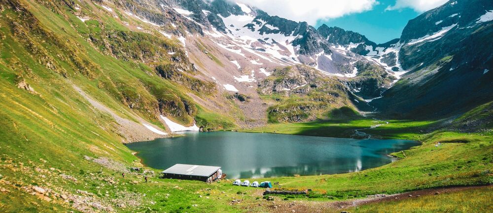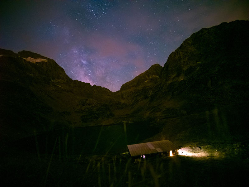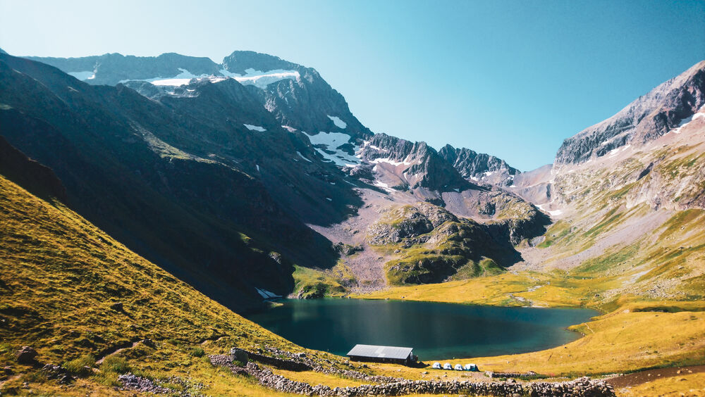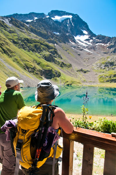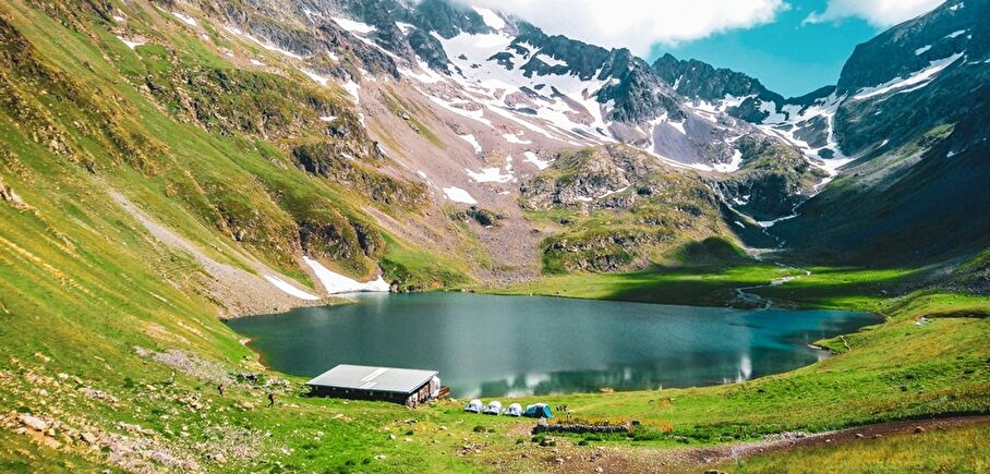
Lake and refuge de la Muzelle
LIEN FICHE SIT 95533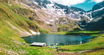
Walking to La Muzelle is a way to discover the typical landscapes of the Oisans. The height difference is impressive, but it enables you to walk through a spruce wood, then on alpine grass, and finally in the middle of a mineral cirque.
TECHNICAL INFORMATIONS
Starting point: Shelter of la Muzelle
Elevation gain: 1226 m
Duration There/Back: 4h
Distance: 5,5 km
En pratique
- Non disponible
Publics
- Level red – hard
Animaux acceptés
- Non disponible
Services
- Accommodation
Informations complémentaires
Durée moyenne d'une visite groupée
- 6h
Ouvertures
Deprecated: nl2br(): Passing null to parameter #1 ($string) of type string is deprecated in /home/isere/public_html/wp-content/plugins/timber-library/vendor/twig/twig/src/Environment.php(497) : eval()'d code on line 51
Périodes
- Autumn,
- Summer,
- Spring
Tips
Opportunity to spend the night at the Muzelle hut .Think to book !
if you want to hike with your baby , the tourist office rents baby carriers
A voir aussi
-
La Muzelle Hut
Lieu : Venosc

-
Hike - La Muzelle waterfall
Lieu : Venosc
Dénivelé 120m
-
Hiking - Col du Vallon du lac de la Muzelle to lac Lauvitel
Lieu : Venosc
Dénivelé 1597m
-
Hiking - Grand Tour of the Muzelle and Lauvitel lakes
Lieu : Venosc
Dénivelé 1700m
-
Warning: Impossible de récupérer le contenu de l'image depuis: https://static.apidae-tourisme.com/filestore/objets-touristiques/images/218/111/27553754-diaporama.jpg in /home/isere/public_html/wp-content/plugins/acf-img-optim-2-master/class/Storage.php on line 113
Warning: Impossible de récupérer le contenu de l'image depuis: https://static.apidae-tourisme.com/filestore/objets-touristiques/images/218/111/27553754-diaporama.jpg in /home/isere/public_html/wp-content/plugins/acf-img-optim-2-master/class/Storage.php on line 113
Warning: Impossible de récupérer le contenu de l'image depuis: https://static.apidae-tourisme.com/filestore/objets-touristiques/images/218/111/27553754-diaporama.jpg in /home/isere/public_html/wp-content/plugins/acf-img-optim-2-master/class/Storage.php on line 113
Warning: Impossible de récupérer le contenu de l'image depuis: https://static.apidae-tourisme.com/filestore/objets-touristiques/images/218/111/27553754-diaporama.jpg in /home/isere/public_html/wp-content/plugins/acf-img-optim-2-master/class/Storage.php on line 113
Venosc cabble car
Lieu : Venosc


Go there
Latitude : 44.949857
Longitude : 6.096554
38520 Venosc
Go there
in Bourg Arud follow the direction of the refuge and lake Muzelle
Information mise à jour le 11/10/2024
par Office de Tourisme des 2 Alpes
null