From the red stones of Panossas to the green panoramas of Isle-Crémieu
LIEN FICHE SIT 7285234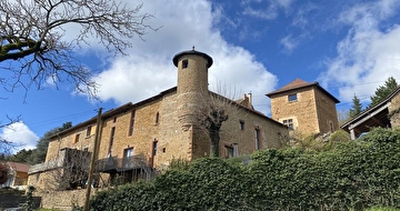
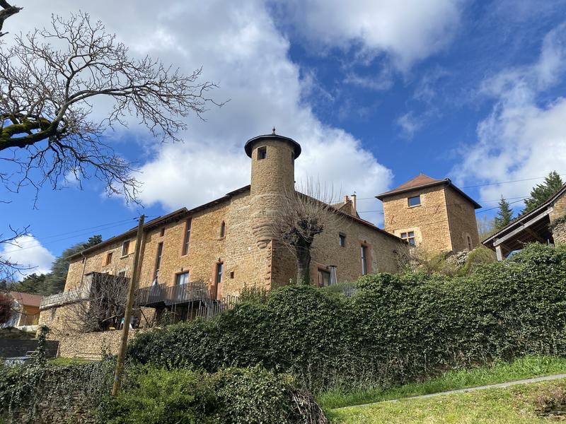
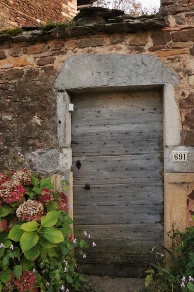
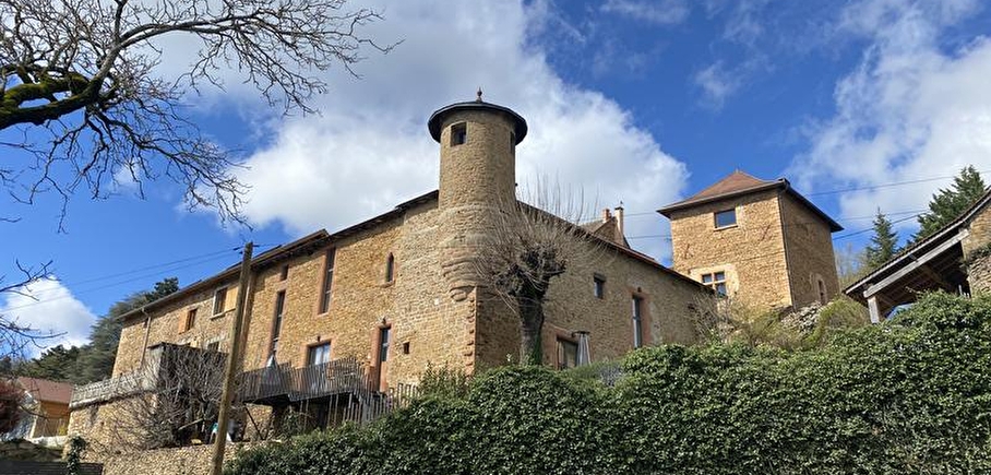
In the south-west of the Balcons du Dauphiné, between hills and ponds, Panossas stands out for its beautiful red hues, a phenomenon that can be explained by the rich iron content of the limestone, which is found in the various architectural features.
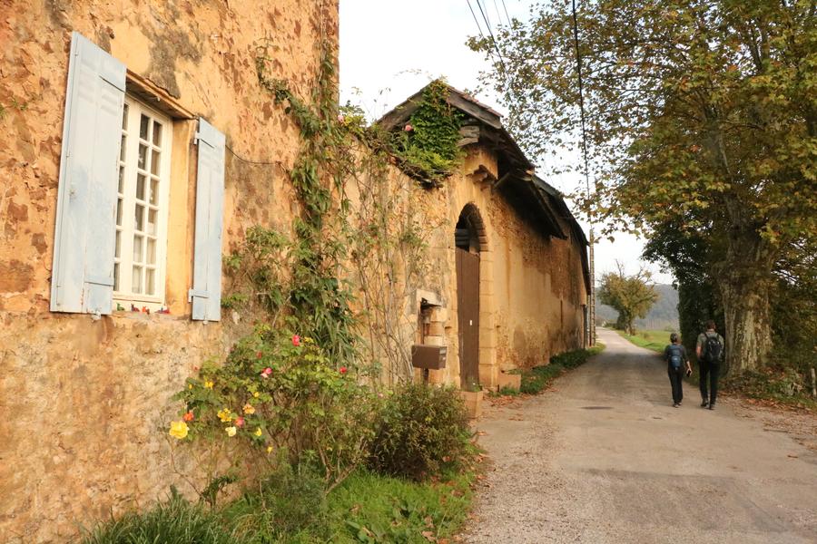
The village then gives way to a variety of landscapes, from undergrowth to panoramic views over the Isle-Crémieu, as you make your way along this hilly walking route.
En pratique
- Acceptés
Publics
- Level bue - Medium
Tranche d'âge
- À partir de 10ans
Animaux acceptés
- Acceptés
Conditions d'accueil des animaux
- Pets allowed on lead only.
At the Jubilee Cross, continue straight ahead, leaving the return road on your right. Take the Chemin des Fuziers.
After passing the town hall, turn left at the wash-house. Go straight on along the Chemin de Coutieu, passing the Charmoncel spring.
Leave the dry grassland path. Continue along the road, then turn left down the Chemin d'Antouillet as far as the "Antouillet" sign.
2-Leave the GR® and continue straight downhill to the Chemin de Frontonas, then right onto the Chemin de Serre as far as the Sully lime tree.
Follow the wide track to the right that leads to the "Salette" signpost.
3-Fork right 3 towards Chozeau.
Follow the road to the left. At the crossroads, follow the road to the left for 600 m, then turn right onto the dirt track. Keep to the right.
At the "Mont Morel" post, take the path on the right towards the Quincieu cross.
Reach the track and keep right as far as the pond. Follow the road past the Quincieu farm to the Quincieu cross.
From here, go right along the pond, turn left and 125 m further on take the path that climbs steeply through the woods.
4- At the top, emerge into the field, following the edge to the left. At the end of the field follow the
left as far as the village.
5- Return to the car park on the left. Once you reach the Jubilee Cross, follow the same route as the outward journey.
Services
- Pets welcome
Nature du terrain
- Stone,
- Ground,
- Grit,
- Not suitable for strollers
Informations complémentaires
Langues parlées
- French
Ouvertures
All year round.
Subject to favorable weather.
Périodes
- Autumn,
- Summer,
- Winter,
- Spring
Tarifs
Free access.
Tips
Interpretation trail at the Charamel sensitive natural area (to be discovered in addition to this walk) :
Labelled a Sensitive Natural Area since 2004, the Charamel peat bog
Charamel peat bog is a major wetland in the Isère department.
A 10.5 km interpretation trail takes you through this ecosystem
Marsa pond and its mill. This
rich reservoir of biodiversity is home to 300 species of vascular plants
vascular plants (which help to transport water, among other things) and 139 species of
of birds.
A detailed information booklet is available free of charge from
tourist information offices.
A voir aussi
-
Panossas
Lieu : Panossas

-
Natural Sensitive Area of Charamel's wetland
Lieu : Frontonas
-
L’étang et les pelouses sèches de Marsa Sensitive Natural Area
Lieu : Panossas
-
Crémieu medieval city
Lieu : Crémieu
-
Canoeing down the Bourbre river
Lieu : Frontonas
-
Le Bumble Bee
3 étoilesLieu : Panossas
-
Le Lemon Tree
4 étoilesLieu : Panossas
-
Le Galuber
Lieu : Crémieu


Information mise à jour le 12/03/2025
par Office du Tourisme Les Balcons du Dauphiné
null