
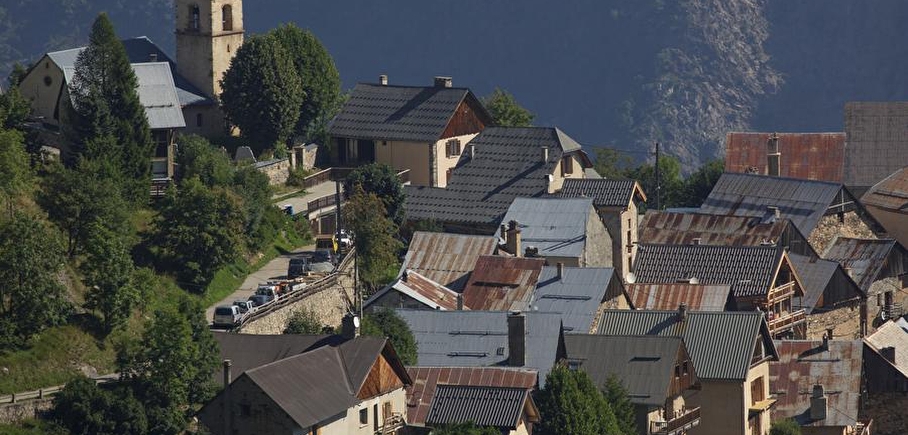
Chemin historique de Villard Notre Dame - Hiking from Le Bourg-d'Oisans
LIEN FICHE SIT 5432152
This itinerary is the old mule track leading to Villard-Notre-Dame. This historic path is very gradual and winds through the cool undergrowth, passing the famous Gardette mines.
TECHNICAL INFORMATION
Start: Bourg-d'Oisans motocross course, 730m
Difference in altitude: 720m
Round trip time: 5h50
Return distance: 7.2 km
Level: difficult with aerial sections
MAP AND TOPO
IGN map 3336ET
Topo guide l'Oisans au bout des pieds n°1 sentier 623
Itinerary: Start from the motocross course at Bourg-d'Oisans, follow the signs for Villard-Notre Dame, a path with many switchbacks. Vertiginous passage just before the Gardette mines secured by a cable, then forest climb to the Combe de la Balme, then finish with the arrival at Villard Notre Dame.
TO SEE ON THE ROUTE
The Gardette mines
En pratique
- Acceptés
Publics
- Level bue - Medium
Animaux acceptés
- Acceptés
Services
- Pets welcome
Nature du terrain
- Rock,
- Ground
Informations complémentaires
Tourisme adapté
- Not accessible in a wheelchair
Langues parlées
- French
Durée moyenne d'une visite groupée
- 3h
Ouvertures
From 01/05 to 31/10.
Subject to favorable snow and weather conditions.
Périodes
- Autumn,
- Summer,
- Spring
Tarifs
Free access.
Go there
Latitude : 45.044242
Longitude : 6.03309
Height : 720
38520 Le Bourg-d'Oisans
Go there
When you pass the Motocross course on the Route de St Claude (towards the hamlet of Le Vert), after a few dozen metres you'll find a bench on your right, and the path starts right there.
Information mise à jour le 21/01/2025
par Oisans Tourisme
null
