
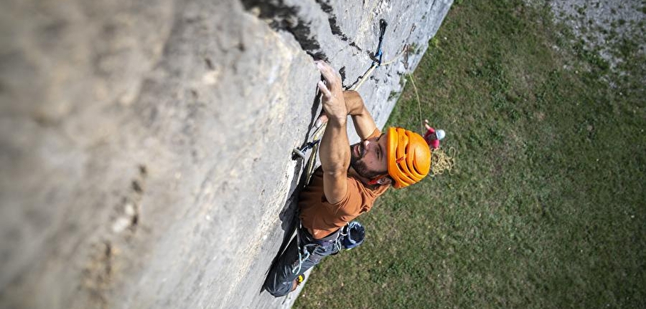
Châtel climbing site
LIEN FICHE SIT 5050908Warning: Attempt to read property "term_id" on array in /home/isere/public_html/wp-content/plugins/sit-core/src/Templates/Services/Components/BlocSITMetas.php on line 27
Warning: foreach() argument must be of type array|object, bool given in /home/isere/public_html/wp-content/plugins/sit-core/src/Templates/Services/Components/BlocSITMetas.php on line 35
Le Chatel, or Bonnet de Calvin, is the northernmost point of the Dévoluy.
From the parking lot, allow an hour to reach the tracks.
But once up there, what a panorama!
Massif: Dévoluy
IGN map: 3337 OT
> Altitude: 1700m
> Orientation: West-South-West
> Approach time: 1h
> Favourable period: summer, autumn
> Rock: limestone
> Number of routes: 30
> Minimum track height: 15 m
> Maximum route height: 35 m
> Climbing ability: grades 4c to 8a
> Climbing style: There are few overhangs here (except under the leaning boulder), but the climbing is varied and physical (it doesn't look steep... and yet it is). Cracks, steep walls, no boulders... take your pick! An adventure route (Pichou Line, 6a) for which you can use a set of friends (up to a
2.5) and a few ropes.
In practice
Prices
Free access.
Go there
Latitude : 44.813193
Longitude : 5.806575
38710 Mens
Go there
How to get there :
> by car: go to Mens, then follow signs for Châtel-en-Trièves, Pellafol. Before leaving the village, follow "route de Châtel". 2km of toure, then 3km of piste lead you to the Barret parking lot.
> From the parking lot, follow the sign "Châtel : 1h50, les granges de Châtel". At the foot of the cliffs, follow a pretty "site d'escalade" sign to the right. You're almost there! Another 15 minutes along the cliffs.
Information mise à jour le 24/09/2024
par Office de Tourisme du Trièves
null
