
Bel'Vélec - Theys - Plan de la Malade
LIEN FICHE SIT 5862080Route no. 12. A red loop that combines history, local produce, beautiful scenery, physical effort and mountain biking expertise. You’ll have to put in a lot of effort to reach the Plan de la Malade (you need to be a bit crazy). You've been warned!
Bel'Vélec is a XXL Cross-Country bike park playground for mountain biking and e-biking with 17 trails cumulating 300 km and 11000 m of climbing/descending. Various levels, generally accessible to beginners with mountain e-bikes, easy to navigate and fun. Some trails are accessible for the family. The climbs in the Belledonne mountain range will make you appreciate the advantages of a mountain e-bike.
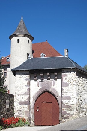
This is a red color Bel'Vélec bike trail (N°12: Theys - Plan de la Malada). You feel ready for a good sweat, a bit of adventure and you are confident on you MTBike or e-Bike, this trail is for you. This trail will also allow you to discover the beautiful landscapes, flora, local producers and the rich heritage of Theys.
En pratique
- Non disponible
Publics
- Level red – hard
Animaux acceptés
- Non disponible
Nature du terrain
- Stone,
- Ground,
- Hard coating (tar, cement, flooring)
Informations complémentaires
Langues parlées
- French
Durée moyenne d'une visite groupée
- 2h
Ouvertures
All year round.
Périodes
- Autumn,
- Summer,
- Winter,
- Spring
Tarifs
Free access.
A voir aussi
-
Bel'Vélec - Froges - Laval
Lieu : Froges
Dénivelé 630m

-
Bel'Vélec - Leaving from Laval
Lieu : Laval-en-Belledonne
Dénivelé 600m
-
Bel'Velec - Leaving from Theys
Lieu : Theys
Dénivelé 510m
-
Bel'Vélec - Champ Près Froges - Les Adrets
Lieu : Les Adrets
Dénivelé 500m
-
Bel'Vélec - Laval - Ruisseau de Belledonne
Lieu : Laval-en-Belledonne
Dénivelé 1030m
-
Bel'Vélec - Les Adrets - Hurtières
Lieu : Les Adrets
Dénivelé 580m
-
Bel'Vélec - Les Adrets - Laval - La Tour de Montfallet
Lieu : Laval-en-Belledonne
Dénivelé 500m
-
Bel'Vélec - Les Granges des Adrets
Lieu : Les Adrets
Dénivelé 560m
-
Bel'Vélec Prapoutel - Le Habert d'Aiguebelle
Lieu : Les Sept Laux Prapoutel
Dénivelé 820m
-
Bel'Vélec Prapoutel - le Pré de l'Arc
Lieu : Les Sept Laux Prapoutel
Dénivelé 210m
-
Bel'Vélec Prapoutel - Villages
Lieu : Les Sept Laux Prapoutel
Dénivelé 630m
-
Bel'Vélec Theys - Marais des Bruns
Lieu : Theys
Dénivelé 330m
-
Bel'Vélec - Prapoutel - Cortillets - Pipay
Lieu : Les Sept Laux Prapoutel
Dénivelé 490m
-
Bel'Vélec - Prapoutel - Les Iles - Col des Mouilles
Lieu : Les Sept Laux Prapoutel
Dénivelé 1140m
-
Bel'Vélec - Prapoutel - Crêt du Poulet
Lieu : Les Sept Laux Prapoutel
Dénivelé 1180m
-
Bel'Vélec - Prapoutel - Le Pleynet
Lieu : Les Sept Laux Prapoutel
Dénivelé 1100m


Go there
Latitude : 45.301399
Longitude : 5.995832
38570 Theys
Go there
Information mise à jour le 05/03/2024
par Office de Tourisme de Belledonne Chartreuse
null


