
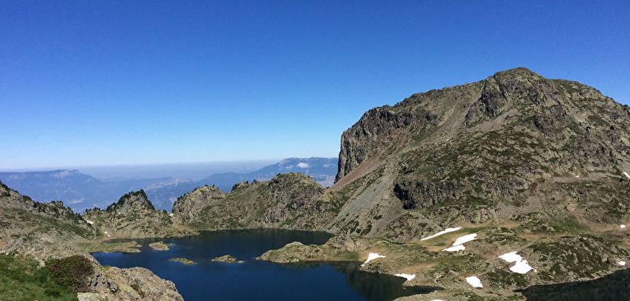
Aiguille - Robert lakes running trail
LIEN FICHE SIT 5787723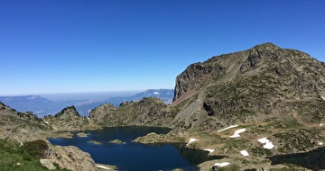
Red level running trail until Robert lakes.
Departure: Tourist Office 1650 - Recoin.
Loop: Chamrousse 1650 – Aiguille – Robert lakes – Chamrousse 1650.
Difficult running trail. Estimated running time for an average speed of 7km/h.
Caution: the shepherd of Chamrousse has dogs with his herd (but no patous), for a good cohabitation between mountain people and the work of the shepherd, thank you for respecting some instructions. Do not cross the herd, do not try to pet or feed the dogs or the herd, do not make sudden gestures or throw things that could frighten the dog, do not start running and avoid taking photos from too close...
En pratique
- Non disponible
Publics
- Level red – hard,
- For athletes
Animaux acceptés
- Non disponible
Informations complémentaires
Langues parlées
- French
Durée moyenne d'une visite groupée
- 1h
Ouvertures
From 15/06 to 30/09.
Périodes
- Autumn,
- Summer,
- Spring
Tarifs
Free access.
A voir aussi


Go there
Latitude : 45.125713
Longitude : 5.879125
38410 Chamrousse
Go there
Resort road access from Grenoble: Rocade Sud > exit no. 2 "Uriage" > Route départementale 111 (RD 111) Seiglières side.
Recommended parking: Parking Henry Duhamel (P7), avenue Henry Duhamel (200 m, approx. 2-minute walk).
Public transport - Chamrousse 1650 - Recoin stop:
- regular bus service all year round: N93 (to/from Grenoble), "Chamrousse 1650" stop (merger of former T87, Transaltitude, Destination neige Skibus / nature Estibus 707)
Good to know - another stop less than 500m away (Place de Belledonne, near the Tourist Office):
- transport by reservation on weekdays excluding public holidays: Flexo 57 (to/from Uriage), "Chamrousse - Le Recoin" stop (former TAD TouGo - line G701)
Information mise à jour le 23/04/2025
par Office du Tourisme de Chamrousse
null
