Mountain bike trail - Waterways
LIEN FICHE SIT 7281661
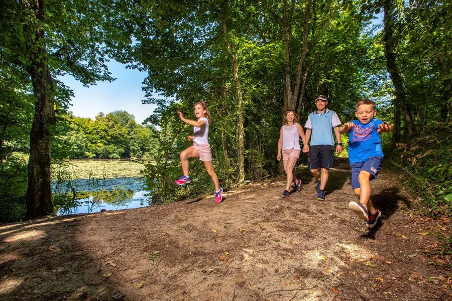
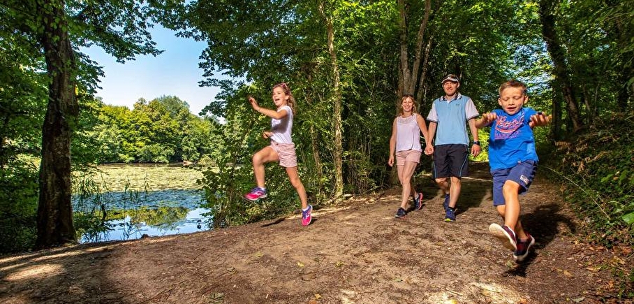
This easy walk is nice to discover the Natural Sensitive Area and make the most of the fresh atmosphere of the ponds in summer.
The walk starts from the car park behind the church. From the car park, take time to look at the pretty communal oven before admiring the panoramic view of the Vercors and Chartreuse mountains.
ITINERARY
Walk along the main road for 100m, then turn right and head downhill on a country road, then take the shady Dran path on the left. You will pass close to the old water catchments used to supply drinking water to La Tour-du-Pin. After a stretch on a wide, relatively flat track, the path descends and slopes for around 50m, so take care. The rest of the route presents no further technical difficulties.
The landscape opens up once more to farmland and cultivated fields. Between Les Communes and Le Rompay, the route follows the dyke of the former Dolomieu pond, which was drained during the French Revolution. You then pass through a number of woods that provide a little coolness in summer.
Stop off at the Etang de la Feuillée, classified as a Sensitive Natural Area. This site is made up of wet meadows, ponds, reedbeds and wet woodland and is home to the marsh copper, a protected butterfly species, as well as two protected plants, the marsh peucedan and the loose-flowered orchid.
Continue on to the educational pond at Petite Commune, an ideal spot for a picnic in the shade of two tables, then return to the village. You can climb to the top of the church tower to admire the scenery (contact the town hall).
Beware, the start of this route is often muddy in wet weather (November - April).
SIGNS AND MARKINGS
Follow the yellow markings and the following signposts:
Les Communes > Le Rompay > Croix Droguet > Bois de Salérieu > Etang de la Feuillée > Petite Commune > return to LA CHAPELLE DE LA TOUR
En pratique
- Non disponible
Publics
- Mountain bikers,
- Level bue - Medium
Animaux acceptés
- Non disponible
Équipements
- Public WC,
- Car park
Nature du terrain
- Ground,
- Hard coating (tar, cement, flooring),
- Grit
Informations complémentaires
Langues parlées
- French
Durée moyenne d'une visite groupée
- 150h
Ouvertures
All year round.
Périodes
- Autumn,
- Summer,
- Winter,
- Spring
Tarifs
Free access.
Go there
Latitude : 45.584945
Longitude : 5.467073
Height : 433
Route de Caillite - D16i
38110 La Chapelle-de-la-Tour
Go there
Information mise à jour le 10/03/2025
par Office de Tourisme des Vals du Dauphiné