Circuit VTT - chemin des crêtes
LIEN FICHE SIT 7281602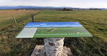
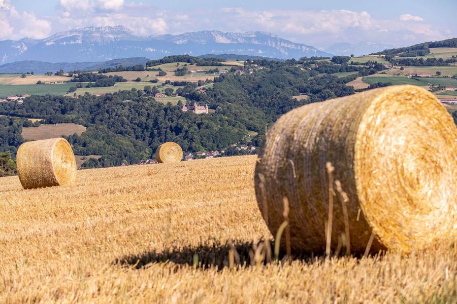
An easy route with plenty of views of the Chartreuse, the Savoyard foreland and Mont Blanc in the background.
Start from the church car park or directly from the town hall car park (50m away). This route is a must for cyclists looking for a panoramic ride with some of the best views in the Vals du Dauphiné and very little change in altitude.
ROUTE
The route quickly takes you out of the village. After crossing the D17, you take dirt tracks that you will almost never leave. As far as Mollard des Mottes, the path climbs slightly and offers beautiful views of meadows where cows graze, interspersed with groves.
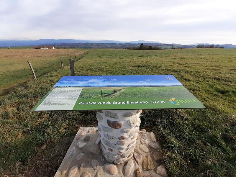
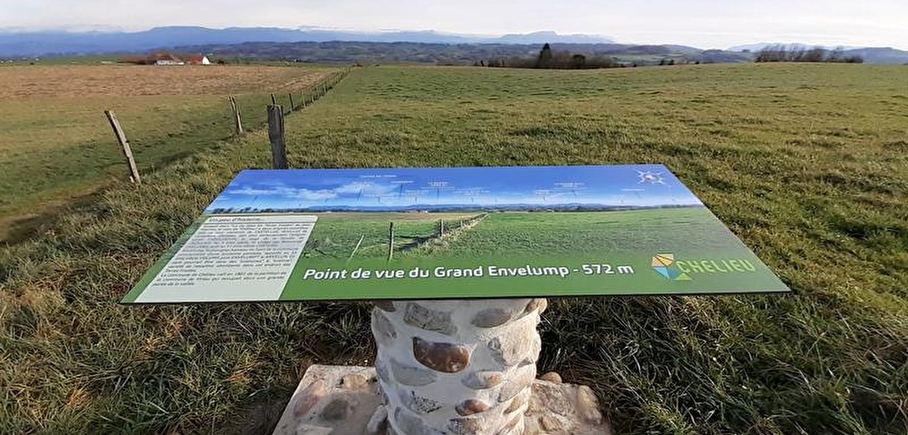
You then reach the ridges between Montagnieu and Chélieu, with beautiful views of the mountain ranges before you. At Cote 568, an orientation table shows you the panorama of the Chartreuse, the Savoyard foreland and, in the background, the Belledonne massif, Mont Blanc and the Ecrins.
Continue up to Beauregard before turning right to head back towards Montagnieu. There are plenty of woods and cow meadows along the way.
WAYMARKING AND SIGNPOSTING
From the church car park, walk to the town hall (50m), then follow the yellow signs and the following junctions:
Chemin de Feydel > Mollard des Mottes > Cote 568 > Les Hauts d'Envelump > Beauregard > (Le Feydel) > Chemin de Feydel > Return to MONTAGNIEU
Around 600m before Le Feydel, it's advisable to take the road on your right, to go straight to Chemin du Feydel and Montagnieu, and avoid a difficult stretch of track.
En pratique
- Non disponible
Publics
- Mountain bikers,
- Level green – easy
Animaux acceptés
- Non disponible
Équipements
- Public WC,
- Car park
Nature du terrain
- Ground,
- Hard coating (tar, cement, flooring),
- Grit
Informations complémentaires
Langues parlées
- French
Durée moyenne d'une visite groupée
- 2h
Ouvertures
All year round.
Périodes
- Autumn,
- Summer,
- Winter,
- Spring
Tarifs
Free access.
A voir aussi

Go there
Latitude : 45.524475
Longitude : 5.452862
Height : 445
38110 Montagnieu
Go there
Information mise à jour le 10/03/2025
par Office de Tourisme des Vals du Dauphiné
null