
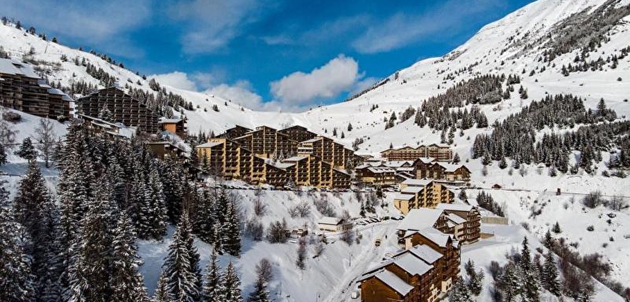
Sentier du Bûcheron - snowshoeing from Auris-en-Oisans resort
LIEN FICHE SIT 6801977
This trail takes you through the Piégut forest and above the hamlet of Certs. There are several markers along the way to help you discover the local ecosystem and heritage!
TECHNICAL INFORMATION
Departure point: caravan park
Height difference: 120 m
Duration: 2 hours
Distance: 2.8 km
Level: medium (blue)
MAP AND TOPO
Map available from the tourist office
Jacques le Bûcheron" booklet on loan from the tourist office
ITINERARY
At the end of the caravan park, take the path leading into the Piégut forest. Continue straight ahead for about 1 km. On this section, the path is not very steep. Then, at the crossroads, take the left-hand path which descends more steeply (approx. -90 m gradient over 500 m).
After the descent, the path remains mainly flat for 200m and then climbs back up to the resort, including a few downhill sections. At the end of the forest, you'll reach the resort via the pool road.
TO SEE ON YOUR ROUTE
Fun panels on the world of the forest
NEARBY ATTRACTIONS
Resort and hamlets of Auris-en-Oisans
En pratique
- Acceptés
Publics
- Level bue - Medium
Animaux acceptés
- Acceptés
Services
- Pets welcome
Équipements
- Car park
Nature du terrain
- Non-groomed itinerary
Informations complémentaires
Tourisme adapté
- Not accessible in a wheelchair
Langues parlées
- French
Durée moyenne d'une visite groupée
- 2h
Ouvertures
From 02/12 to 20/04.
Subject to favorable snow and weather conditions.
Périodes
- Autumn,
- Winter,
- Spring
Tarifs
Free access.
Go there
Latitude : 45.051471
Longitude : 6.078574
Height : 1650
38142 Auris-en-Oisans
Go there
Information mise à jour le 11/01/2025
par Oisans Tourisme
null
