
Walking orientation course - Bastille "Porte de France
LIEN FICHE SIT 4687413
Bastille cable car route Grenoble
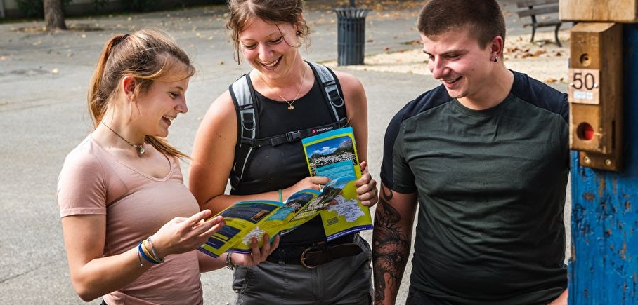
Print the map and set off on the trails of the Bastille for an orienteering race made up of 9 markers.
Apprentice guidance counselors, it's up to you!
The objective of the orienteering course is to find one's bearings thanks to the natural and artificial elements (isolated tree, rock, banners, sign ...) to find the markers symbolized by a red circle; the start is symbolized by a red rod. the search order is imposed, however you are free to choose your path to achieve it.
For each beacon found, punch your card using the red clamp embedded in the wooden post.
Throughout your journey, check that the pictograms on your plates correspond to the punches of each beacon.
Always confirm your position by identifying on the map elements that you can observe around you: buildings, roads, groves, signs, crossroads ...
This project was developed in partnership with the "Leisure Environment Sport and Tourism" Master of UFRASTAPS in Grenoble.
En pratique
- Non disponible
Publics
- For beginners / novice,
- Level green – easy,
- Children
Animaux acceptés
- Non disponible
Équipements
- Public WC
Informations complémentaires
Langues parlées
- French
Durée moyenne d'une visite groupée
- 90h
Ouvertures
All year round.
Périodes
- Autumn,
- Summer,
- Winter,
- Spring
Tarifs
Free access.
A voir aussi
-
Walking orientation course - Bastille "Grand Tour
Lieu : Grenoble
Dénivelé 250m

-
Grenoble Bastille cable car
Lieu : Grenoble
-
Walking orientation course - Bastille "Porte Saint-Laurent
Lieu : Grenoble
Dénivelé 115m
-
Family orienteering course - Bastille "The fortress of Grenoble
Lieu : Grenoble
Dénivelé 120m
-
Parcours d'orientation du Bois Français
Lieu : Saint-Ismier
Dénivelé 15m


Go there
Latitude : 45.193061
Longitude : 5.726103
38000 Grenoble
Go there
Tram ligne E arrêt "Esplanade"
Possibilité de monter à pied ou en téléphérique
Information mise à jour le 20/08/2024
par Office de Tourisme Grenoble Alpes
