
Snowshoeing - Venosc Village - Lake Muzelle
LIEN FICHE SIT 5686571
4 hours of hiking with an elevation of 1226 meters
TECHNICAL INFORMATIONS
Starting point: Venosc, L'Alleau
Elevation gain: 1226 m
Duration There/Back: 4h
Distance: 5,5 km
ITINERARY
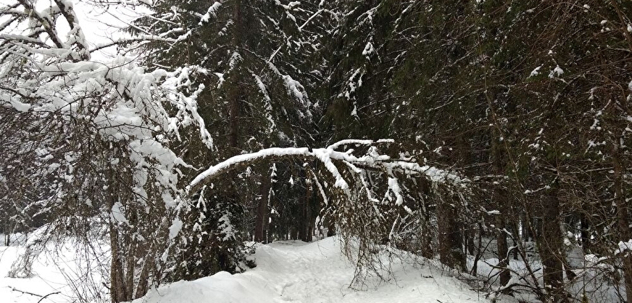
From « l'Alleau », take direction « Refuge de la Muzelle » after the small bridge. Follow the winding path leading to the ruins of Pleney. The path continues near the torrent until le « Clot du Sella ». Cross the bridge , and follow the « ardoisières » then « les marches » before you arrive at the lake.
En pratique
- Non acceptés
Animaux acceptés
- Non acceptés
Nature du terrain
- Non-groomed itinerary,
- Not suitable for strollers
Informations complémentaires
Langues parlées
- French
Durée moyenne d'une visite groupée
- 7h
Ouvertures
From 01/12 to 15/04.
Subject to snow conditions.
Périodes
- Autumn,
- Winter,
- Spring
Tarifs
Free of charge.
Tips
Opportunity to spend the night at the Muzelle hut .Think to book !
if you want to hike with your baby , the tourist office rents baby carriers
Go there
Latitude : 44.949857
Longitude : 6.096554
38520 Venosc
Go there
in Bourg Arud follow the direction of the refuge and lake Muzelle
Information mise à jour le 25/04/2023
par Office de Tourisme des 2 Alpes
null
