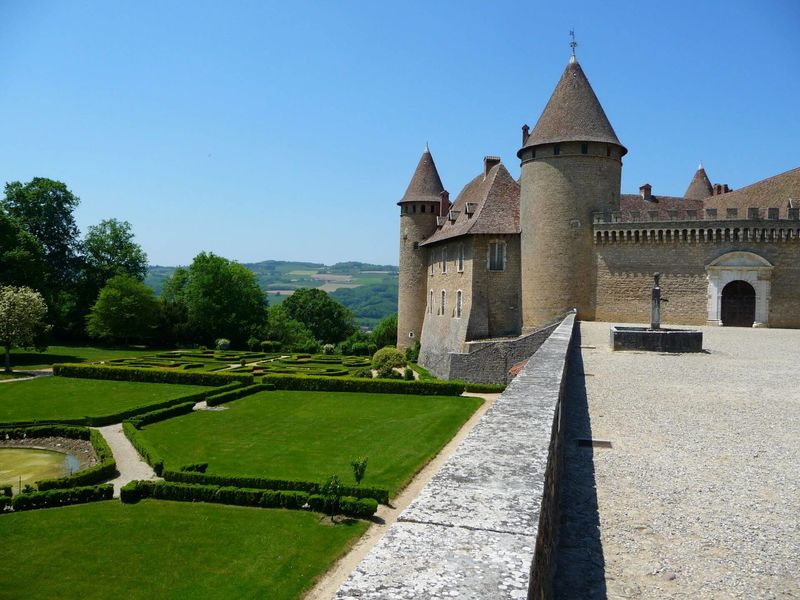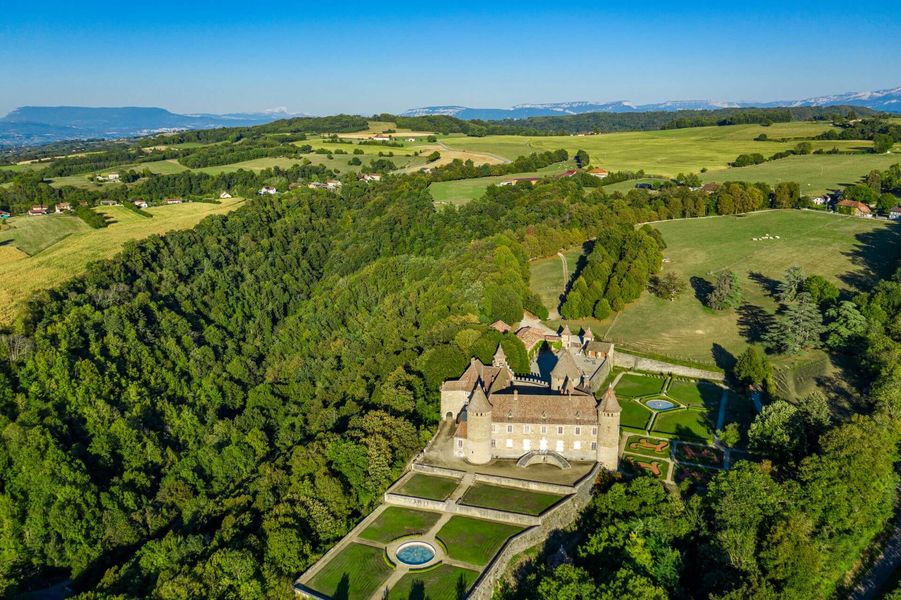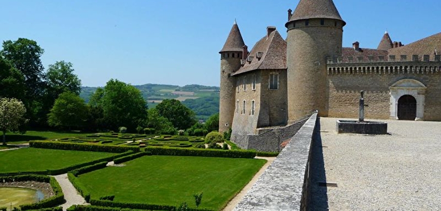
Around the Castle of Virieu
LIEN FICHE SIT 6441646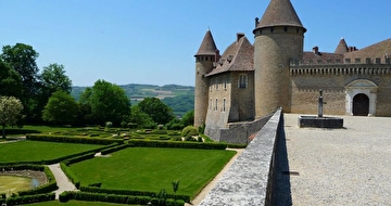
A sportive ascent to reach the medieval castle of Virieu and discover panoramas on the valley of the Haute Bourbre and the summits of the Bugey, the Chartreuse and the Avant-Pays Savoyard.
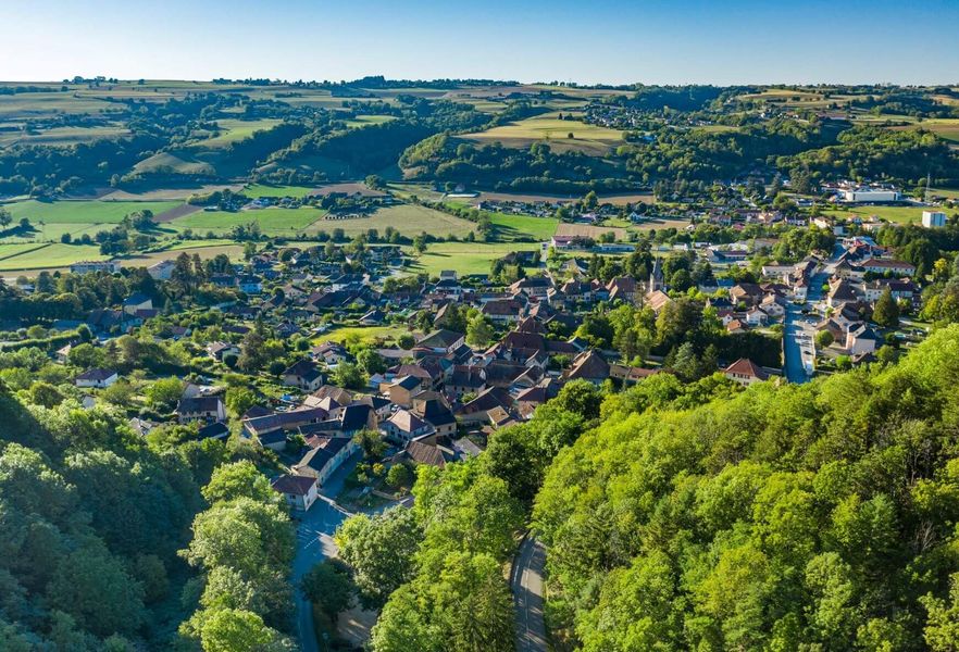
From the Virieu-Panissage railway station (Lyon / Grenoble line), follow the PR signs (yellow signs) towards the village of VIRIEU , parking near the church (another departure point - parking in front of the church).
Follow the yellow markings and the following crossroads:
> Le Trêve (tricky and dangerous climb up the paddle wheel side (roue à aubes) / go up the road on your right at La Trêve directionnal pole)
> Château de Virieu
> Les Cardelles (beginning of the dirt paths)
> Croix de l’Homnezy
> Chemin de Ripaillon
> Les Frênes
> Croix du Moine Mort (1rst path on your right)
> Mallein
> Combe Mounard
> Les Platières
> Les Tournelles
> Le Trève
> return to the car park in the village centre or to the train station.
Note: possibility of a departure from the Virieu Panissage railway station (1.5 km), i.e. a 16 km loop.
En pratique
- Non disponible
Publics
- Walkers/hikers,
- Level bue - Medium
Animaux acceptés
- Non disponible
Équipements
- Public WC,
- Car park
Nature du terrain
- Stone,
- Ground,
- Hard coating (tar, cement, flooring)
Informations complémentaires
Durée moyenne d'une visite groupée
- 150h
Ouvertures
All year round.
Périodes
- Autumn,
- Summer,
- Winter,
- Spring
Tarifs
Free access.
A voir aussi
-
Virieu Castle
Lieu : Val-de-Virieu

-
"Bigallet" : liquors and syrups factory
Lieu : Val-de-Virieu
-
Clog museum
Lieu : Val-de-Virieu
-
"In Jongkind' footsteps through Dauphiné" tour
Lieu : Val-de-Virieu
-
Routes from station to station - La Trans' Vals du Dauphiné
Lieu : La Tour-du-Pin
Dénivelé 746m
-
Orientation trail in Val-de-Virieu
Lieu : Val-de-Virieu
-
Circuit découverte de Val-de-Virieu
Lieu : Val-de-Virieu
Dénivelé 20m
-
Church tour from Valencogne
Lieu : Valencogne
Dénivelé 235m
-
Cycling / e-bike loop : factories roads, hidden secrets of the "Haute Bourbre"
Lieu : Val-de-Virieu
Dénivelé 152m
-
Castles and crest path
Lieu : Val-de-Virieu
Dénivelé 370m


Go there
Latitude : 45.484911
Longitude : 5.475812
38730 Val-de-Virieu
Go there
Ce circuit est accessible en TER depuis GRENOBLE via la ligne Grenoble - Saint-André-le-Gaz (arrêt à Virieu-sur-Bourbre).
Ce circuit est accessible de puis LYON via la ligne Lyon - Chambéry (arrêt à Saint-André-la-Gaz) puis Saint-André-le-Gaz - Grenoble (arrêt à Virieu-sur-Bourbre).
Information mise à jour le 10/12/2024
par Office de Tourisme des Vals du Dauphiné