
Cascade de la Pisse - Walk from Le Bourg-d'Oisans
LIEN FICHE SIT 237226A quiet, bucolic walk at the foot of the cliff, in the sun in the morning and in the shade in the afternoon. An almost flat itinerary, except for the last section which climbs to the waterfall on a footpath.
TECHNICAL INFORMATION
Start: Bourg-d'Oisans town hall - 700 m altitude
Difference in altitude: 70 m
Round trip duration: 1h30 one way and 1h30 return
Round trip distance: 10.4 km
Difficulty: very easy
MAP AND TOPO
Top 25 IGN 3335 ET Bourg-d'Oisans, Alpe d'Huez
OBP (l'Oisans au Bout des Pieds) map no. 1, trail 657 (available from the tourist office).
ITINERARY
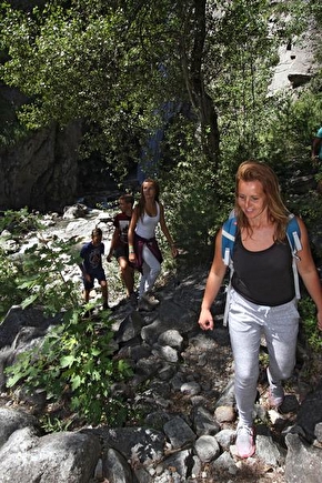
This easy stroll through the valley is recommended for families and light walkers. The waterfall is a perfect excuse for a cool picnic and to take advantage of the various watering holes during the hot summer months. An itinerary that reveals the hidden face of the Romanche plain and the banks of the Vénéon.
In Le Bourg-d'Oisans, join the park in front of the town hall. Between the town hall and the church, follow rue Humbert in the direction of "Villard-Notre-Dame". At the end, take the left-hand road "chemin de St-Claude", not the right-hand road which climbs up to the village of Villard-Notre-Dame (a must-see! but take the car... The balcony road is narrow and suspended, a typical Oisans journey).
For 2 km you'll follow a tarmac road, then for a more natural itinerary look out for a path on the right that joins the road a little further on. Once you've reached the sources de la Rive, the starting point for canoe and paddle trips on the peaceful Rive that runs through Le Bourg-d'Oisans, the itinerary is now pedestrianized. But that's not all: you're on the voie verte (hence the tarmac), so many non-motorized machines share the area with you.
From here, follow the cliff on your right to the waterfall. You then leave the voie verte to follow the signs for "cascade de la Pisse", which go up to the right along a path.
Return by the same route, with a detour to Lac de Buclet to soak up its luminous turquoise blue!
THINGS TO SEE ALONG THE WAY
- the Mairie park and its bucolic little pond
- the church and the Museum of Fauna and Minerals
- the blue lake and picnic area.
- Buclet lake
- the Pisse waterfall
- the vast bed of the Vénéon and its Siberian allure
En pratique
- Acceptés
Publics
- Children,
- Level green – easy,
- For beginners / novice
Animaux acceptés
- Acceptés
Services
- Pets welcome
Informations complémentaires
Tourisme adapté
- Not accessible in a wheelchair
Durée moyenne d'une visite groupée
- 180h
Ouvertures
From 01/04 to 31/10.
Subject to favorable snow and weather conditions.
Périodes
- Autumn,
- Summer,
- Spring
Tarifs
Free access.
A voir aussi

Go there
Latitude : 45.052029
Longitude : 6.02982
Height : 700
38520 Le Bourg-d'Oisans
Go there
Starts from the centre of Bourg d'Oisans: bus stop " office de tourisme" bus line T75, T70, T73, T75, T76, T77
Information mise à jour le 23/12/2024
par Oisans Tourisme


