
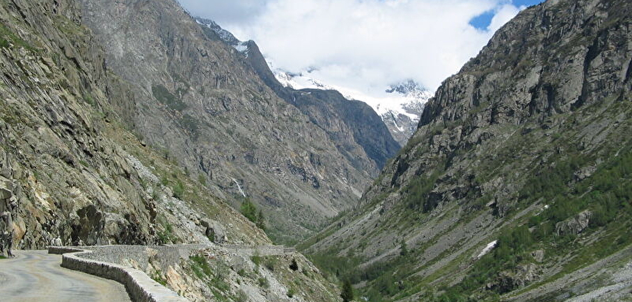
Champhorent climbing site
LIEN FICHE SIT 10039Warning: Attempt to read property "term_id" on array in /home/isere/public_html/wp-content/plugins/sit-core/src/Templates/Services/Components/BlocSITMetas.php on line 27
Warning: foreach() argument must be of type array|object, bool given in /home/isere/public_html/wp-content/plugins/sit-core/src/Templates/Services/Components/BlocSITMetas.php on line 35
Climbs above the avalanche shelter.
Pedestrian access St Christophe :
At the foot of the Venosc gondola, walk down to the Bourg d'Arud bridge and join the path to Plan du Lac. At the white-water base, follow signs for Le Puy / Saint Christophe en Oisans.
On leaving St Christophe, follow Pré Clot, then Champhorent to the paravalanche.
Massif: Ecrins
IGN map: 3436 ET
Altitude: 1600 m
Direction: South
Approach time: 5 minutes
Favourable period: spring to autumn
Rock: gneiss
Number of lanes:8
Minimum track height: 30 m
Maximum route height: 200 m
Practice level: grades: 5a to 6b
Climbing style :
Equipment:well equipped.
In practice

Go there
Latitude : 44.934517
Longitude : 6.213756
Height : 1545
38520 Saint-Christophe-en-Oisans - La Bérarde
Go there
Park next to the avalanche shelter and climb onto it using the short ladder.
Information mise à jour le 06/09/2024
par Oisans Tourisme
null

